
In May, The monsoon in India hit now, which hit the southern coast late, which is expected to make slow progress over the next two weeks that also delay the onset of crucial rains over north-western parts of the whole nation.
“Indian monsoon got off to a pretty good start across much of southern India. But, we see a change in the situation, we are going to see mostly dry weather over the next 10 days,” senior agricultural meteorologist at Radiant Solutions, formerly MDA Earthsat, Kyle Tapley, said, as per the Reuters.
“North-western areas have yet to see the monsoon and it looks like it’s going to be dry over the next couple of weeks. Northern and western India is going to see monsoon behind schedule.”
Losing vigor: The monsoon, which is has been nearing Jhansi in Uttar Pradesh in a day or two, is still stuck in the northern reaches of Maharashtra because of the weakening of the monsoon pattern.
Weak week: The existing pattern is supposed to persist for the next one week, that means that temperatures in parts of northwest and central India are all set to rise by 2-3 degrees Celsius in the next 2-3 days, balanced in the 40-42 degrees Celsius range.
The drenched & the dry: The western coast and the northeastern states will hardly have a dry moment; there will be a dry day between them over the next 2 days, whereas the north and northwestern states, including Delhi, may witness dust-laden winds with speeds of around up to 35 kmph, followed by thundershowers, can happen today.
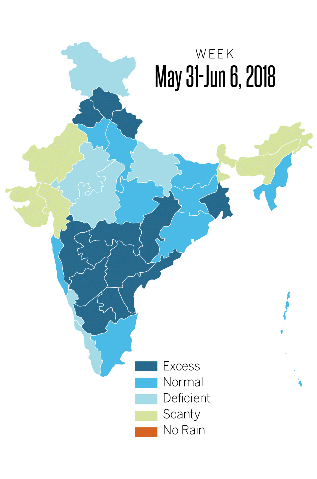
The monsoon delivers about 70 percent of India’s annual rainfall which is the lifeblood of it’s $2.5 trillion economies; stimulate farm output and boosting spending on items ranging from gold to tractors and refrigerators.
On Wednesday, the India Meteorological Department (IMD) has also retained its monsoon forecast at 97 percent which is the long-term average.